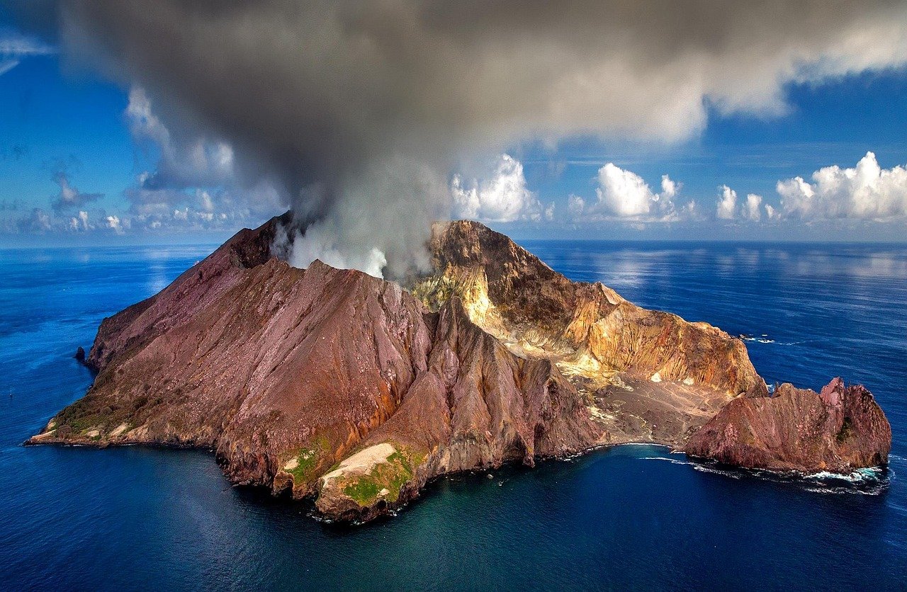
Great Barrier Island
Great Barrier Island — Aotea in te reo Māori — lies 90 kilometres northeast of Auckland like a piece of pre-industrial New Zealand that somehow survived the twenty-first century intact. There are no traffic lights here, no supermarket chains, no mobile phone coverage over most of the island, and no mains electricity supply. The 900 or so permanent residents generate their own power from solar panels and small hydro turbines, and the absence of the usual infrastructure of modern life creates a quality of silence and darkness that most New Zealanders have never experienced. Aotea is one of the least light-polluted places in the northern hemisphere, and its dark skies draw astronomers from across the Pacific.
History of Great Barrier Island
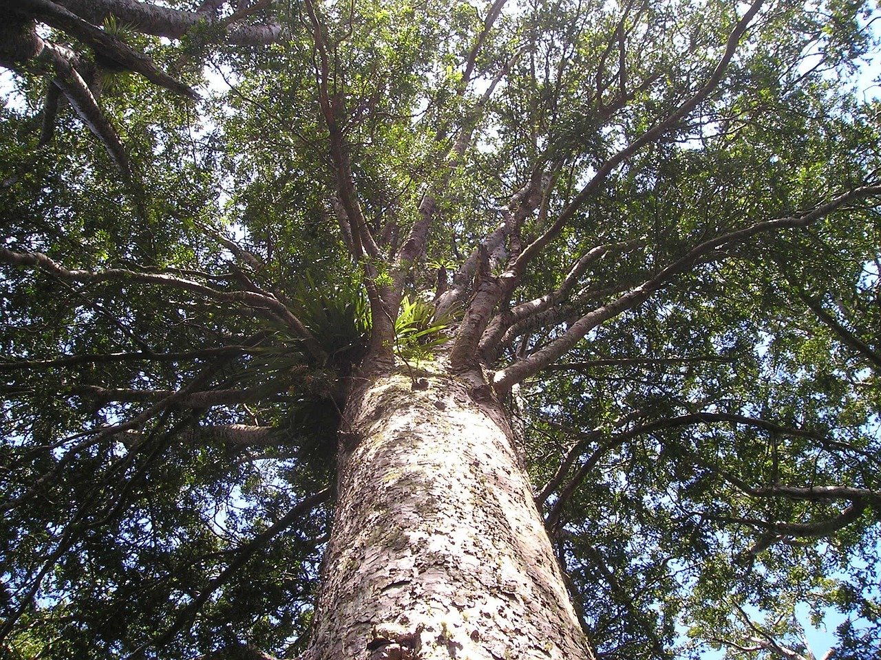
Aotea has been inhabited by Māori since at least the thirteenth century. The island’s name in te reo — meaning “the long white cloud barrier” — references both its position as a barrier between the Hauraki Gulf and the open Pacific and the quality of cloud that often shrouds its forested ridges. The island was mapped by Captain James Cook in 1769, who named it Great Barrier for its role in sheltering the Hauraki Gulf from Pacific swells. European settlement arrived in the early nineteenth century with the timber industry: the island’s vast kauri forests were commercially logged from the 1820s onward, and a kauri gum-digging industry followed. By the time the last kauri sawmill closed in the 1920s, most of the original forest had been cleared.
The twentieth century brought both depression-era hardship and the beginning of conservation. The island’s remote location meant development remained limited, and the regenerating native bush — hilly, dense, and crossed by clear streams — gradually reclaimed much of what had been cleared. The island achieved a form of protected status through New Zealand’s conservation framework, and today approximately 60% of the island is managed as a conservation area. The kauri dieback fungal disease (Phytophthora agathidicola) threatens the island’s recovering kauri, and biosecurity measures at access points ask visitors to clean footwear before entering forest areas — a requirement that must be taken seriously.
What to See
The island’s hiking trails are its primary attraction, and several rank among the finest short walks in the greater Auckland region. The Hirakimata (Mount Hobson) summit trail — a five-to-seven-hour return journey through recovering kauri forest — offers views across the entire island and, on a clear day, back to the Auckland skyline. The Tramline Track follows the route of the old logging railway through dense bush where New Zealand falcon (kārearea) hunt overhead. The Hot Springs Track leads to natural thermal pools in a remote bush setting, reached after a 45-minute walk through forest — one of the island’s most prized secret spots. Medlands Beach, on the island’s east coast, is a sweep of white sand generally considered one of the most beautiful beaches accessible from Auckland.
Wildlife watching on Aotea rewards patience: brown kiwi are present in substantial numbers and can be heard calling at night in the bush around most accommodation. Black petrels — a globally threatened seabird — nest on the island’s higher ridges during summer and are one of the most important breeding populations in the world. New Zealand dotterel breed on the beaches. The absence of introduced land predators over much of the island’s conservation area means the birdlife is richer than almost anywhere else accessible from a major city. The island’s marine environment is equally impressive: the reefs around the north and northeast coasts provide some of the best scuba diving in the Auckland region.
Dark Skies Sanctuary
Aotea/Great Barrier Island was designated a Dark Sky Sanctuary by the International Dark-Sky Association in 2017, one of only a handful of such designations in the world. The designation recognises the island’s extraordinary night-sky quality, which arises from its distance from Auckland’s light pollution, its low resident population, and community-wide commitment to dark-sky-friendly outdoor lighting. On a moonless night, the Milky Way is visible as a dense band of light stretching from horizon to horizon, and the southern constellations — the Southern Cross, the Jewel Box cluster, the Magellanic Clouds — are visible to the naked eye with a clarity that most people living in the modern world never experience.
Several island accommodation operators offer stargazing experiences with telescopes and guided interpretation, and the island hosts an annual Dark Sky Festival each autumn that draws amateur astronomers from across New Zealand and Australia. Even for casual visitors with no particular interest in astronomy, sitting outside on a clear night and watching the stars wheel overhead in absolute silence is among the most memorable experiences the island offers. Bring a warm jacket — island nights are cool year-round.
Practical Information
- Tickets: Return ferry approx. NZD 130–160 (Fullers360, 4.5-hour crossing); return flight approx. NZD 200–300 (Barrier Air, FlyMySky, ~30 minutes)
- Opening hours: The island is accessible year-round; accommodation and services are more limited in winter (May–September)
- Best time to visit: December to March for warm swimming and hiking; late autumn for the Dark Sky Festival and reduced visitor numbers
- Duration: Minimum 2–3 nights to do the island justice; most visitors stay 4–7 days
- Booking: Accommodation must be booked well in advance for summer; ferry and flights bookable through Fullers360, Barrier Air, and FlyMySky
Local Insights
What locals know that guidebooks don’t always tell you:
- Fly in and ferry back (or vice versa) — the approach by small plane provides a stunning aerial view of the island’s landscape and Hauraki Gulf, while the longer ferry crossing gives a different perspective. The combined experience is worth the extra cost.
- The island has two main grocery stores (in Claris and Tryphena) but stock is limited and expensive — bring any specialist food items from Auckland. Fresh produce from the island’s farmers is sometimes available at the Claris community market.
- The thermal hot springs at the end of the Hot Springs Track are best visited early morning or evening when you are unlikely to share them with other visitors; bring a towel and water shoes as the rocky streambed is slippery.
- Hire a 4WD vehicle on arrival — many of the island’s best beaches, viewpoints, and trailheads are on unsealed roads that standard vehicles cannot manage.
- Listen for kiwi calling after dark from your accommodation — the island has one of the highest density populations of kiwi accessible to visitors in New Zealand and hearing them is almost guaranteed on a calm night.
Getting There
- By ferry: Fullers360 operates a passenger ferry from Auckland Ferry Building to Tryphena; approximately 4.5 hours; check seasonal schedules as services are less frequent in winter
- By plane: Barrier Air and FlyMySky operate scheduled flights from Auckland Airport to Claris Airport on Great Barrier; approximately 30 minutes; book early as planes are small
- On the island: Hire vehicles available from several operators at Claris airport and Tryphena wharf; essential for exploring beyond the main townships
- Taxi/Rideshare: A small number of local taxi services operate on the island; arrange through your accommodation in advance
Frequently asked questions
Is there phone coverage on Great Barrier Island?
Mobile coverage is extremely limited — 2degrees has some coverage in parts of Tryphena and around Claris, but most of the island has no signal. Wi-Fi is available at some accommodation and the community hall. This is by design and is considered one of the island’s attractions, not a drawback.
Can I see kiwi at Great Barrier Island?
Hearing kiwi at night is almost guaranteed near most accommodation. Seeing them is harder as they are nocturnal and secretive. Some guided evening wildlife walks offer better chances of visual sightings. Brown kiwi numbers on the island are estimated in the thousands — a remarkable density.
Are the hot springs safe to use?
Yes, the natural hot springs on the Hot Springs Track are safe. The water temperature varies by pool but is generally comfortably warm. There is no lifeguard present, so children should be supervised. The springs are a public resource maintained by the Department of Conservation.
What is kauri dieback and why does it matter?
Kauri dieback (Phytophthora agathidicola) is a water mould that attacks the root systems of kauri trees, which are among New Zealand’s most iconic native species and can live for thousands of years. It is spread on soil particles, including on footwear. All visitors to the island’s conservation areas must clean boots at designated stations before entering kauri forest — this is not optional, it is essential for the trees’ survival.
How do I get from the ferry/airport to my accommodation?
Arrange transfers in advance through your accommodation — most operators can organise pick-ups. Alternatively, hire a vehicle from one of the operators at both the wharf and the airport. Do not assume you can find transport on arrival without prior arrangement.