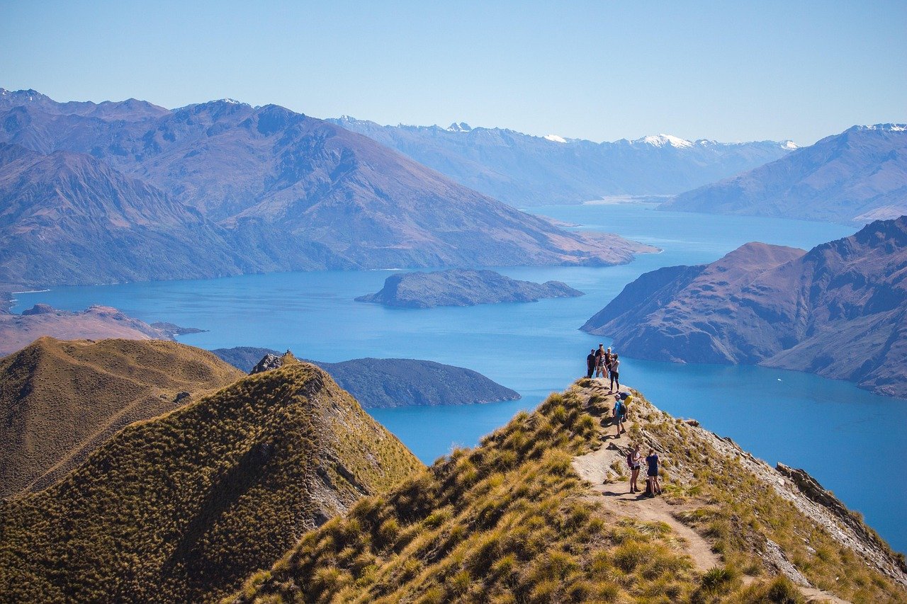
Waitakere Ranges
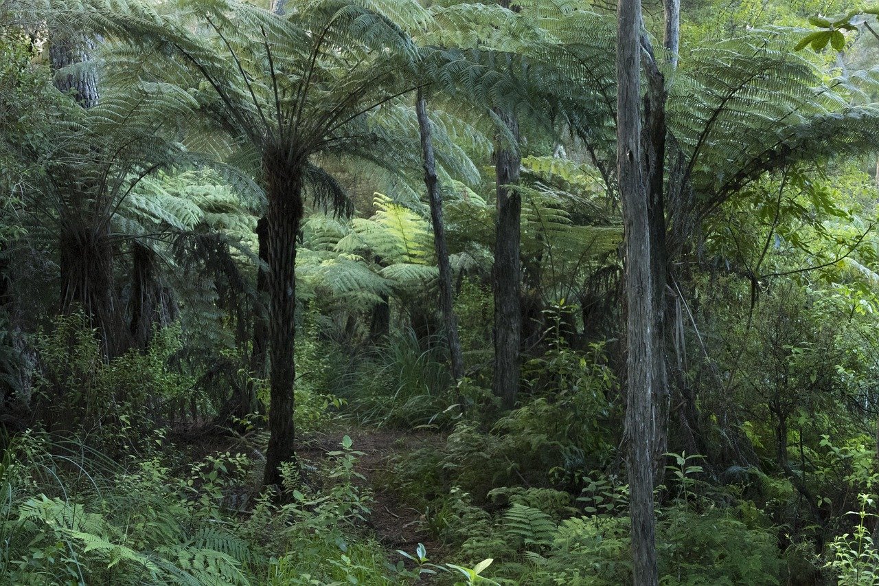
Twenty minutes west of Auckland city, the world changes entirely. The glass towers and harbour views are replaced by dense native bush draped in mist, kauri trees so large their roots buckle the paths, and waterfalls dropping into pools of amber-stained water. The Waitākere Ranges are Auckland’s wilderness — 16,000 hectares of temperate rainforest, volcanic peaks, and black sand beaches running along a jagged West Coast exposed to the full fetch of the Tasman Sea. For anyone who thinks New Zealand’s nature begins only when you leave the big city, the Waitākere Ranges are a revelation.
History of the Waitakere Ranges
The Waitākere Ranges are an ancient volcanic range, their basalt and lava flows dating back 16–22 million years to an era when much of what is now New Zealand was underwater. The ranges take their name from the Waitākere people — a subtribe of the Ngāti Whātua iwi — and the forest holds significant cultural and spiritual importance for Māori, who harvested timber, birds, and plants from the ranges for centuries. The name Waitākere itself means “rushing water” in te reo Māori, a reference to the numerous streams and falls that descend the western escarpment.
European settlers began logging the ranges in the mid-19th century, harvesting kauri — the great trees that can live 2,000 years and grow to 50 metres tall — for shipbuilding and construction. By the early 20th century most accessible kauri had been cleared. The creation of the Waitākere Scenic Reserve in 1941 and its expansion into the regional park as we know it today halted further logging and allowed partial recovery of the forest. The surviving ancient kauri are now among the most ecologically significant trees in the country — and among the most threatened by kauri dieback disease.
What to See and Do
The Arataki Visitor Centre on Scenic Drive is the main gateway, with exhibitions on the park’s ecology, Māori heritage, and conservation efforts, plus extensive walking track information and brilliant views over the ranges. From here, Scenic Drive winds north and south through the ranges, with dozens of track entrances providing access to varying terrain and difficulty levels.
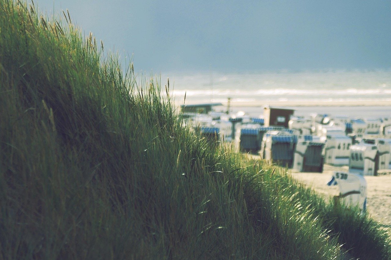
The most popular walks include the Kitekite Falls track (1.5 hrs return, rewarding with a swimming hole), the Mercer Bay Loop for coastal drama, and the tracks accessing the Cascades Kauri Regional Park area where surviving ancient kauri can be seen from raised boardwalks (direct contact is prohibited due to kauri dieback). The west-coast beaches — Piha, Muriwai, Bethells (Te Henga), and Karekare — are spectacular and wild, with heavy surf that makes swimming challenging without lifeguard supervision in summer.
Kauri Dieback Disease
Kauri dieback is the most serious conservation crisis facing the Waitākere Ranges. The disease is caused by Phytophthora agathidicida, a soil-borne water mould that attacks kauri roots, cutting off the tree’s nutrient and water supply. There is no cure, and infected trees die within years to decades. The disease spreads primarily through contaminated soil carried on footwear, equipment, and tyres — a single gram of contaminated soil on a boot sole can kill trees that have lived for centuries.
In response, Auckland Council has closed many tracks where kauri are present to prevent further spread, and tracks that remain open require all visitors to clean footwear thoroughly at stations at every track entrance — scrubbing soles with a brush and spraying with biosecurity solution. The closures and requirements are not optional and are strictly enforced by rangers. Taking them seriously is not bureaucratic inconvenience but a direct contribution to the survival of one of New Zealand’s most irreplaceable natural treasures.
Practical Information
- Tickets: Free — all tracks are free to access; no entry fee for the regional park
- Opening hours: Arataki Visitor Centre: daily 09:00–17:00 (closed Christmas Day). Tracks accessible at all hours.
- Best time to visit: November–March for warmest weather and beach swimming; May–September for quieter tracks and dramatic coastal weather; avoid heavy rain periods for track conditions
- Duration: 2 hrs for a single track; full day for beach plus walks
- Booking: No booking required. Rental car or own vehicle recommended — limited public transport to the ranges.
Local Insights
What locals know that guidebooks don’t always tell you:
- Piha is the most famous beach but gets crowded on summer weekends. Bethells Beach (Te Henga) 20 minutes north is equally spectacular and much quieter — also has a small freshwater lake behind the dunes perfect for swimming.
- Never swim unsupervised at the west coast beaches — the rips are powerful and the surf is genuinely dangerous even for experienced swimmers. Swim only at patrolled sections between the flags in summer.
- Clean your shoes at every track entrance, every time. The kauri dieback stations are not optional. Rangers do check.
- The Lion Rock at Piha — the dramatic volcanic pinnacle in the middle of the beach — can be climbed via a short steep track and the views from the top are extraordinary.
- The Arataki Visitor Centre café serves excellent coffee and surprisingly good food — stop here before heading into the ranges for a map, track conditions update, and fuel.
Getting There
- By car: Arataki Visitor Centre is 20 km west of Auckland CBD via Lincoln Road or Great North Road, then Scenic Drive (30–40 min)
- Bus: Limited services; bus to Titirangi village then taxi or rideshare to specific tracks. A rental car is strongly recommended.
- Organised tours: Several Auckland tour operators offer guided rainforest and west coast beach day tours
- Cycling: Mountain biking is permitted on designated trails; the Ranges offer excellent technical terrain for experienced riders
Frequently asked questions
Why are some tracks in the Waitakere Ranges closed?
Many tracks have been temporarily closed to protect kauri trees from the kauri dieback disease. The closures are made when kauri presence on a track creates unacceptable risk of disease spread. Check the Auckland Council website for current track status before visiting.
Can I swim at the west coast beaches?
Yes, but with caution. Piha, Muriwai, and Karekare are patrolled by lifeguards in summer (November–April) at designated swimming areas between the flags. Never swim outside these zones or outside patrolled hours — rips are powerful and drownings occur every year.
Is the Waitakere Ranges suitable for families with young children?
Yes, with appropriate track selection. Shorter, flatter tracks like the Kitekite Falls lower section and the Arataki area tracks are very accessible. The west coast beaches require careful supervision of children due to surf conditions.
Are dogs allowed in the Waitakere Ranges?
Dogs are permitted on some tracks but prohibited on others. Check the Auckland Council regional parks website for current dog access rules. Dogs must be on leads where permitted.
What wildlife might I see?
Tūī, kererū (native pigeon), morepork (ruru owl), fantails, and grey warblers are commonly seen. The Muriwai gannet colony (45 km north of Piha) is one of Auckland’s most accessible wildlife spectacles — thousands of Australasian gannets nesting on clifftop platforms just metres from the viewing area.