Humahuaca Ravine (Quebrada de Humahuaca)
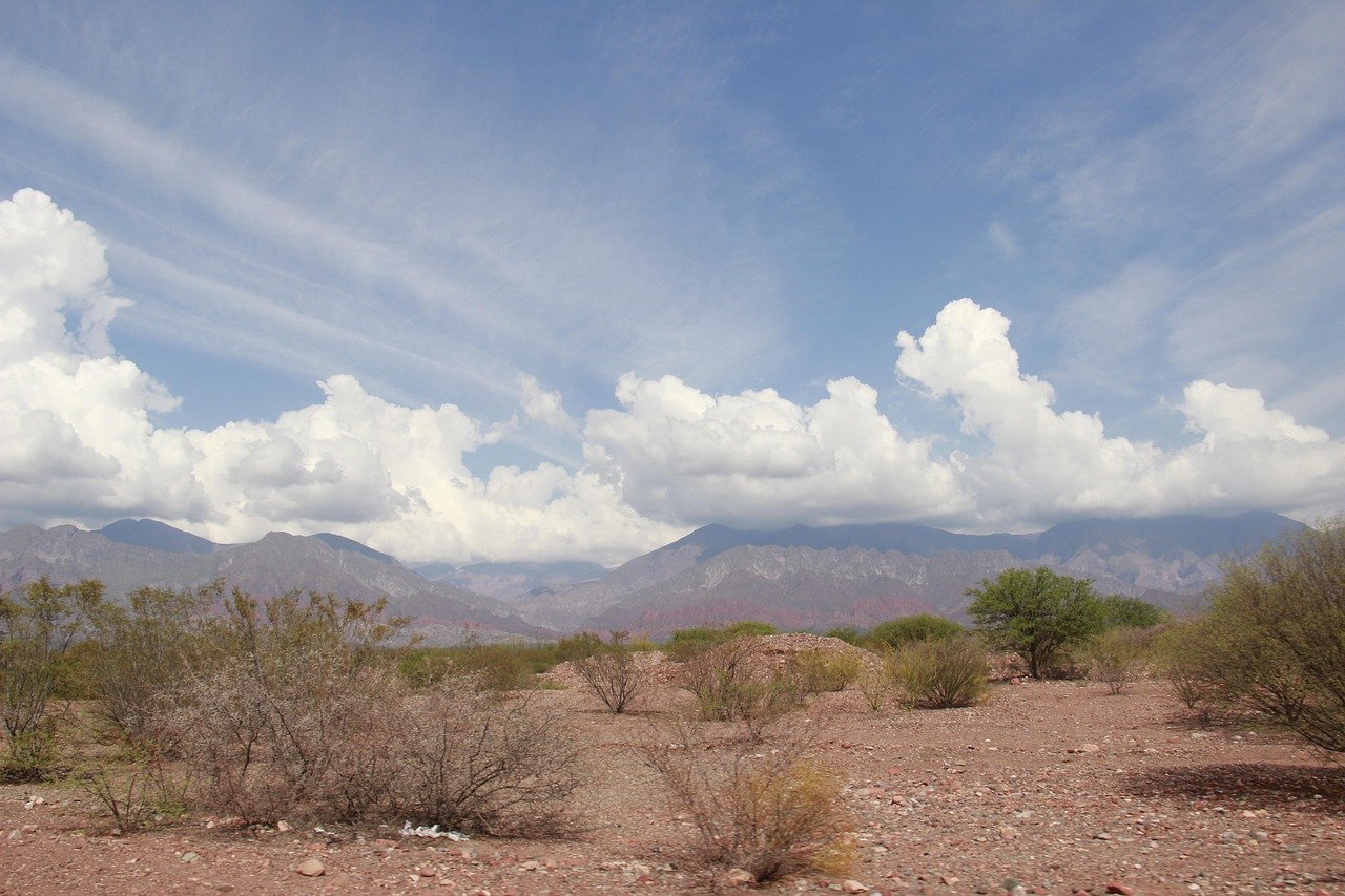
The bus climbs out of Jujuy city in the early morning darkness, and by the time the sky goes pale pink over the Andes, the landscape outside the window is like nothing most travellers have ever seen. Terracotta cliffs rise in striated bands of ochre, violet, and rust-red on either side of the narrow road. Small whitewashed churches appear in dusty plazas. Children lead goats along paths unchanged in centuries. The Quebrada de Humahuaca is a ravine 155 kilometres long, but it feels like an entire world — ancient, high, and profoundly alive.
History of the Humahuaca Ravine
The Quebrada de Humahuaca has been a major travel and trade corridor for over 10,000 years. Pre-Inca peoples used it as a route between the Andean highlands and the lowland plains long before any European set foot in the Americas. The Inca later incorporated the ravine into the great road network of the Tawantinsuyu, the four-part empire, using it as a highway for armies, traders, and administrators moving between Cusco and the southern territories. When UNESCO granted the ravine World Heritage status in 2003, it recognised not just the landscape but this extraordinary layering of human history — Paleolithic hunters, Inca engineered terraces, colonial churches, and 19th-century Argentine independence battles all compressed into a single narrow valley.
The Spanish colonial period left deep imprints: the churches of Uquía, Tilcara, Humahuaca, and Purmamarca were built in the 17th century and are still active today. The Pucará de Tilcara, a pre-Columbian fortress perched on a hilltop above the town of Tilcara, was partially reconstructed in the 20th century and offers the clearest view of what settlement in this valley looked like before European contact. The ravine also witnessed key battles of Argentina’s Wars of Independence in the early 1800s, and a monument to General Belgrano’s Army of the North stands at the edge of Humahuaca town.
What to See Along the Ravine
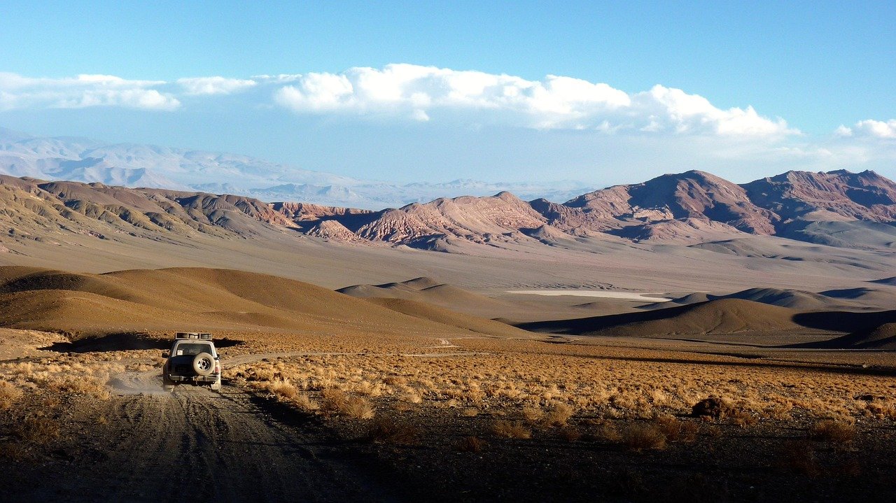
Most visitors base themselves in Tilcara, the liveliest town in the ravine, and make day trips north and south from there. The Cerro de los Siete Colores (Hill of Seven Colors) looms above Purmamarca, its flanks banded in purple, red, white, and green — best seen in morning light when shadows bring out the contrasts. Driving or cycling the road between towns reveals viewpoints, archaeological sites, and the extraordinary dry-air clarity that makes the Andes feel close enough to touch even when summits are 20 kilometres away.
The town of Humahuaca itself at the northern end is the most atmospheric, with cobblestone streets barely changed since the 17th century and a lively market selling textiles, dried herbs, and locally produced wines. The Carnival celebration each February, when local communities parade in elaborate costumes and throw flowers and streamers into the streets, is one of northern Argentina’s most spectacular events. Further north, the narrow canyon of the Cuesta de Lipán switchbacks up toward the salt flats of the Salinas Grandes, offering stomach-dropping views back down into the ravine below.
The Living Culture of the Ravine
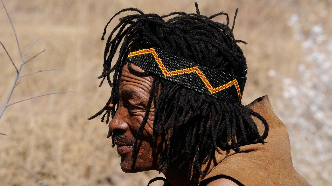
What distinguishes the Quebrada de Humahuaca from other scenic corridors in South America is that it remains deeply inhabited by indigenous communities who maintain direct cultural ties to pre-Columbian traditions. The Omaguaca, Tilcara, and Tumbaya peoples, among others, still celebrate the Pachamama (Earth Mother) offerings every August with ceremonies that have continued for centuries. The languages Quechua and Aymara are still spoken alongside Spanish in many households, and the weaving traditions — using naturally dyed llama and alpaca wool — produce textiles of extraordinary quality sold in local markets.
Food in the ravine reflects this living heritage. Locro (a thick stew of corn, beans, and dried meat), tamales, humitas, and empujadas de quinoa are staples available in small family restaurants. The local wine, particularly the high-altitude torrontés and Malbec from Tilcara’s artisan producers, is worth seeking out at the cooperative shops. At altitude above 2,500 metres, the air is thin — headaches are common on arrival, and most travellers need a day to acclimatise before attempting any uphill walks.
Practical Information
- Tickets: The ravine itself is free to enter. The Pucará de Tilcara charges approx. ARS 1,500–2,000 entry. Some viewpoints like Cerro de los Siete Colores are free.
- Opening hours: Open region, accessible at all times. Pucará de Tilcara: Tue–Sun 09:00–18:00
- Best time to visit: May–September (dry season) for clear skies and best photography; February for Carnival; avoid January–March wet season
- Duration: Minimum 2 days to see main sites; ideally 3–5 days to explore fully
- Booking: No advance booking required for the ravine itself; tours from Salta or Jujuy can be booked via local agencies
Local Insights
What locals know that guidebooks don’t always tell you:
- The Cerro de los Siete Colores in Purmamarca is most vivid before 9am — tour buses arrive by 10am and the light flattens by midday. Stay overnight in Purmamarca to have it to yourself in the early morning.
- The market in Humahuaca town (Sunday morning) sells better-quality and more authentic textiles than the tourist shops along the main drag — look for the stalls run by community cooperatives.
- Altitude sickness is real at 2,500–3,500m. Drink mate de coca (coca leaf tea) freely — it’s sold everywhere and genuinely helps with acclimatisation.
- Renting a car in Salta or Jujuy is far cheaper and more flexible than organised tours; the 155km road is well-paved and requires no special vehicle.
- The Carnival in Tilcara (usually late January to mid-February) books out accommodation months in advance — reserve early or stay in Salta and day-trip.
Getting There
- Bus: Frequent services from Jujuy city (2 hrs to Tilcara, 3.5 hrs to Humahuaca) operated by Panamericano and other companies from Jujuy bus terminal
- Car: Ruta Nacional 9 runs the length of the ravine from Jujuy north — the drive from Jujuy city to Humahuaca takes about 2 hours
- From Salta: Approx. 3.5 hrs by car via RN 9; organised day tours operate from Salta city daily
- Taxi/Rideshare: Taxis available in all main towns; remises (private car hire) can be arranged for full-day trips
Frequently asked questions
Do I need to pay to enter the Quebrada de Humahuaca?
The ravine itself is a free open region — there is no gate or entry fee. Individual archaeological sites like the Pucará de Tilcara have their own admission charges. Some organised viewpoints may charge a small entry or parking fee.
Which town in the ravine should I use as a base?
Tilcara is the most practical base, with the widest range of accommodation, restaurants, and tour services. Purmamarca is quieter and more atmospheric for an overnight stay. Humahuaca is the most authentic but has fewer options.
Is the Quebrada de Humahuaca accessible for people with mobility limitations?
The main towns are easily walkable on flat ground. The Pucará de Tilcara involves uphill walking on rocky paths and is challenging for visitors with mobility difficulties. The Cerro de los Siete Colores is best viewed from the road or a short level walk.
Is it safe to travel through the ravine independently?
Yes. The region is generally safe for independent travellers. Standard precautions apply — don’t leave valuables in parked cars, and be cautious in isolated spots after dark.
What else is nearby worth combining with a visit?
The Salinas Grandes salt flats are a natural extension of the trip, reached via a spectacular mountain road from Purmamarca. The cloud forest of Calilegua National Park is 3 hours north. Salta city, 4 hours south, makes an excellent starting or ending point.